ASSET OWNERS & OPERATORS
Monitor the Ground Beneath Your Assets
Whether you operate a mine, construction or infrastructure project, energy facility, utility network, or urban development, ground movement can create operational, structural and financial risks. InSpectiv Labs uses satellite-based InSAR analytics to continuously monitor ground deformation across your assets—helping you identify emerging movement, understand its progression and act before risks escalate.
BUILT FOR YOUR ASSETS
Mining & Resources
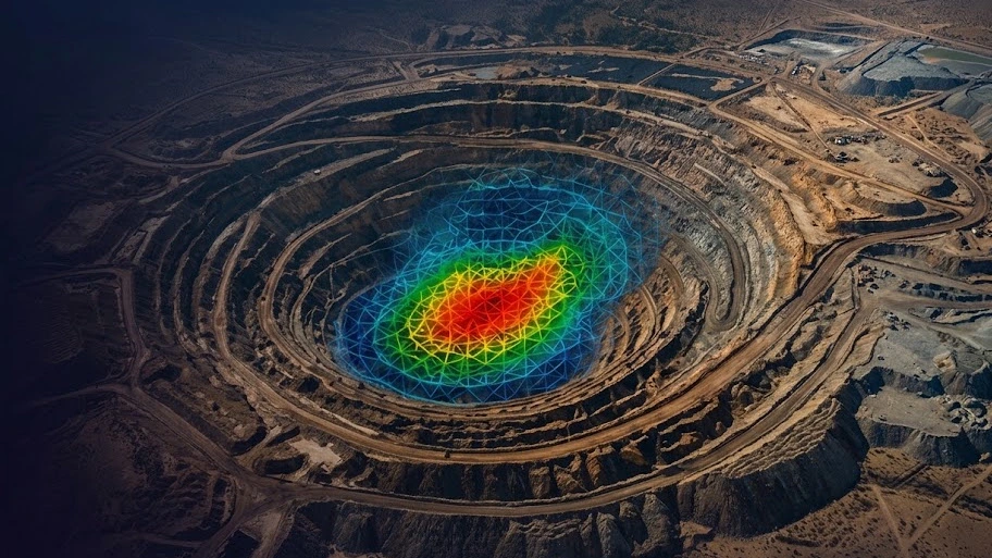
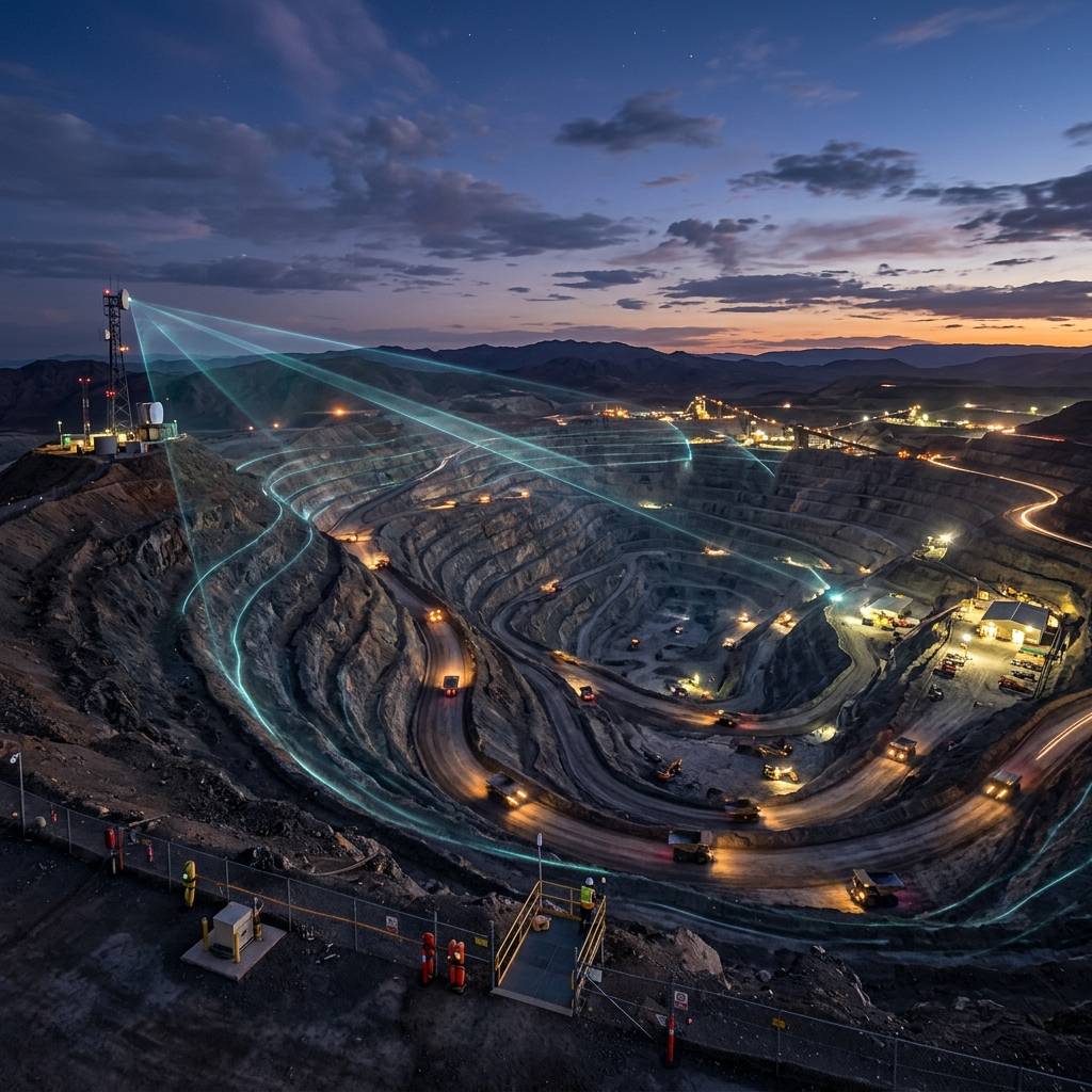
Monitor mine sites, waste dumps, tailings areas, slopes and surrounding ground for subsidence, settlement and deformation.
Infrastructure & Construction
Track ground movement around roads, railways, bridges, tunnels, buildings and active construction sites to identify settlement and structural-risk indicators.
Energy & Utilities
Monitor power plants, pipelines, transmission corridors, renewable-energy sites and other critical assets for ground deformation and instability.
Urban Development
Assess subsidence and ground movement across large development areas, buildings and surrounding infrastructure to support safer and more resilient urban growth.
KEY CAPABILITIES
Monitor large areas remotely without relying solely on ground-based instrumentation.
Understand deformation over time through historical and continuous monitoring.
Identify emerging hotspots and prioritise areas requiring inspection or intervention.
THE CHALLENGE
As an asset owner or operator, you need to know whether the ground beneath and around your assets is stable.
But deformation can be gradual, widespread and difficult to detect through periodic site inspections alone. Large or remote assets can be particularly challenging to monitor consistently.
The key question is: Is the asset stable today, and is its condition changing?
OUR SOLUTION
InSpectiv Labs turns repeated satellite radar observations into actionable ground-deformation intelligence.
We help you understand where movement is occurring, how much it is moving, how that movement has evolved, and where further attention may be required.
WHAT WE MONITOR
Mining & Resources
- ✓ Mine-site subsidence
- ✓ Pit and slope deformation
- ✓ Waste-dump movement
- ✓ Tailings-area deformation
- ✓ Surrounding ground movement
Infrastructure & Construction
- ✓ Settlement around structures
- ✓ Ground movement around excavation
- ✓ Roads, railways and bridges
- ✓ Tunnels and major construction sites
- ✓ Deformation surrounding critical infrastructure
Energy & Utilities
- ✓ Pipeline corridors
- ✓ Power-generation facilities
- ✓ Transmission infrastructure
- ✓ Solar and wind developments
- ✓ Ground movement around critical utility assets
Urban Development
- ✓ Urban subsidence
- ✓ Building and infrastructure surroundings
- ✓ Large development sites
- ✓ Ground settlement
- ✓ Changes in deformation patterns across urban areas
HOW IT WORKS

Satellite Data
Acquisition
We acquire historical and/or regularly updated satellite radar data covering your area of interest.

InSAR
Processing
Multiple radar observations are processed to detect subtle changes in the Earth's surface.
Deformation
Analysis
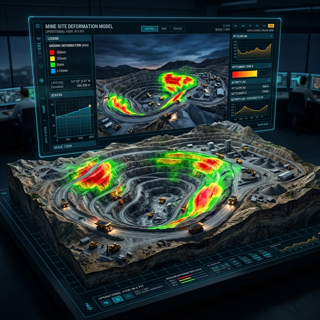
We analyse deformation magnitude, location, spatial patterns and movement trends.
Risk Alerts &
Reporting
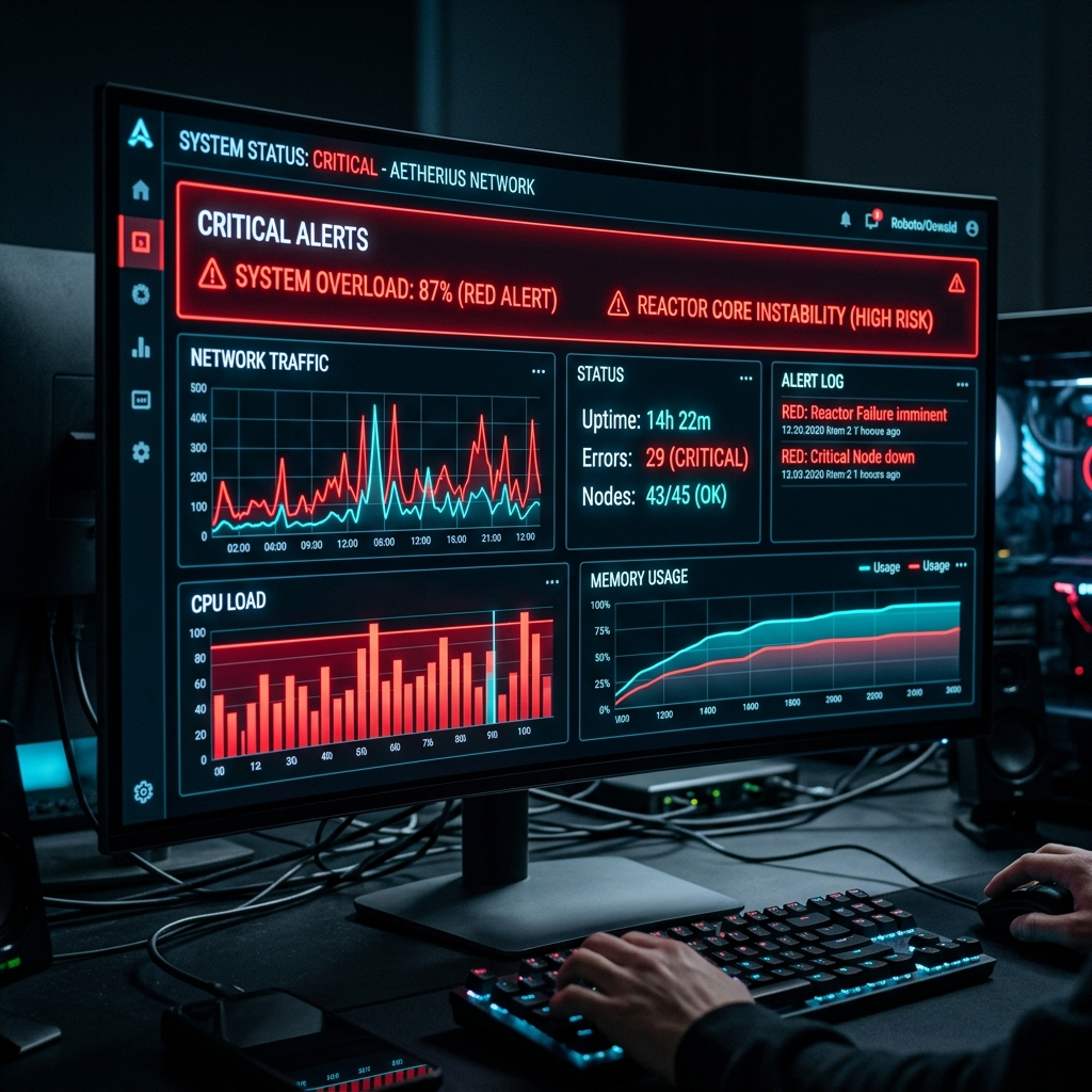
Significant deformation zones and changing trends are highlighted through maps, visualisations and reports.

Informed
Decision-Making
Your teams can prioritise inspections, investigations, maintenance and risk-mitigation actions.
Continuous
Monitoring
Regular satellite observations allow you to track how your asset and its surrounding environment change over time.
SAMPLE INSIGHT
Deformation Map + Time-Series Analysis
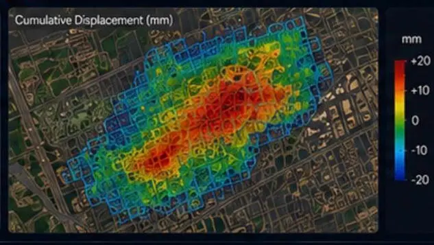
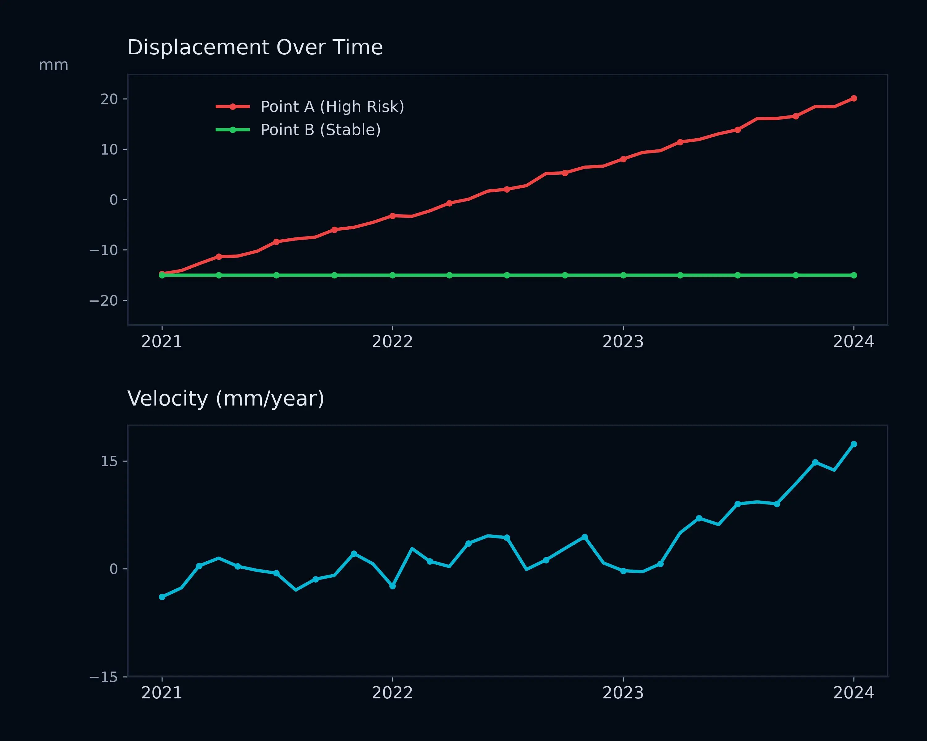
See where deformation is occurring and how it is changing over time, helping your team distinguish stable areas from locations requiring further investigation.