

Our Technology
Transforming satellite radar into millimeter-level precision.
How It Works
InSpectiv Labs converts satellite radar data into millimeter-level ground deformation intelligence through an advanced end-to-end InSAR workflow.

Satellite Data Acquisition

InSAR Processing
Deformation Analysis
Risk Alerts & Reporting

Informed Decisions
Satellite Data Acquisition
We acquire high-resolution C-band SAR radar data from Sentinel-1 satellites, providing all-weather, day & night imaging with frequent revisit times.
InSAR Processing
Advanced algorithms detect phase changes between multiple radar images over time. We isolate the true deformation signal from atmospheric noise.
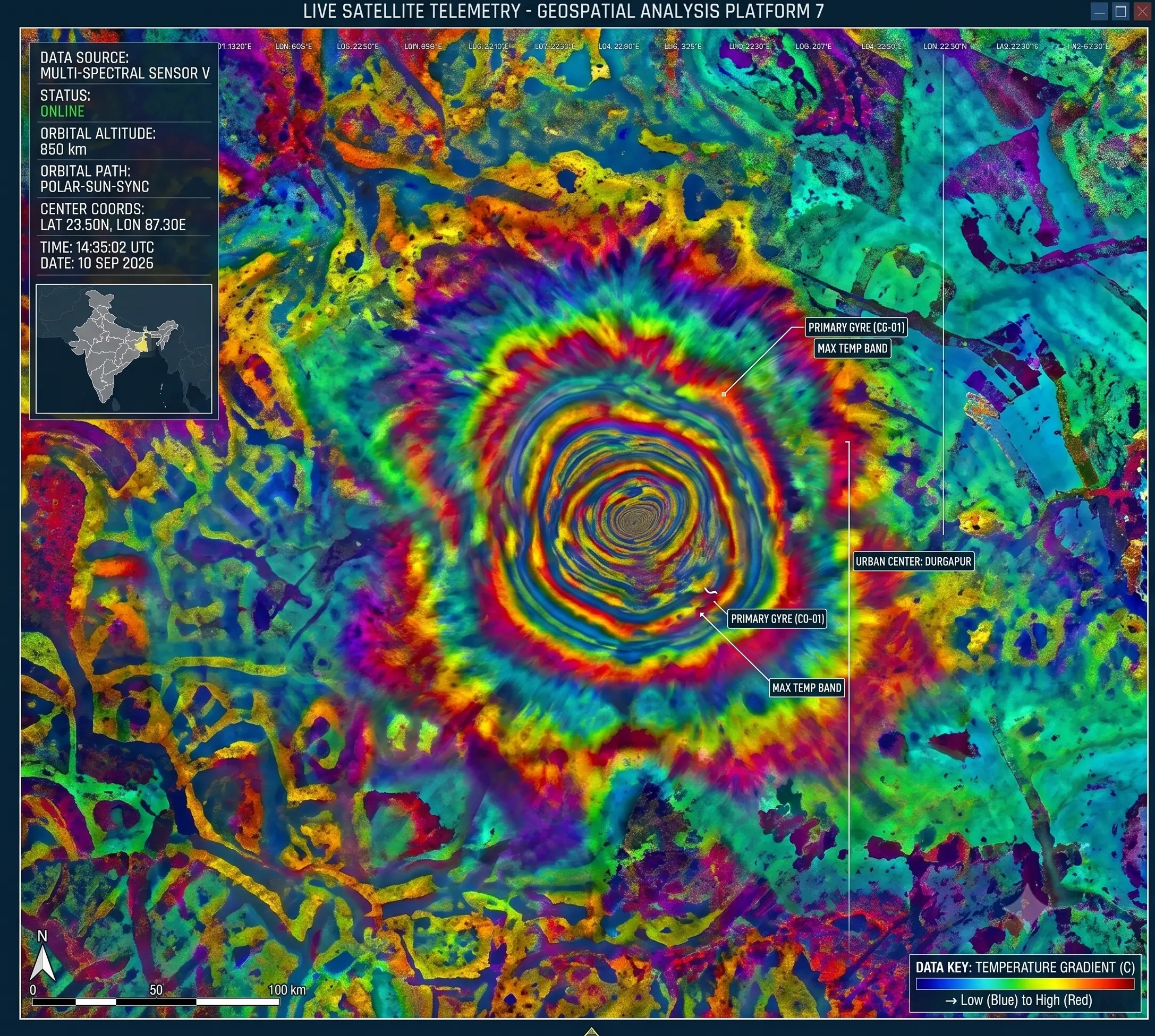
Deformation Analysis
Using advanced MintPy workflows and time-series analysis, we convert phase differences into exact, millimeter-level ground deformation maps.
Risk Alerts & Reporting
Machine learning models identify anomalies and early warning signals. Automated alerts highlight critical areas of subsidence or instability.
Informed Decisions
Turn complex data into decision-ready insights. Our actionable intelligence protects critical assets, ensures safety, and optimizes operations.
Technology Stack
We combine advanced satellite radar, InSAR processing, and AI-driven analytics to deliver millimeter-level ground deformation intelligence at scale.
C-BAND SAR IMAGING
Sentinel-1 SAR Data
All-weather, day & night imaging with 6–12 day repeat cycle.
PHASE INTERFEROMETRY
InSAR Processing
Detect phase changes between radar images to measure deformation.
TIME-SERIES ANALYSIS
MintPy Workflow
Advanced time-series analysis to isolate and quantify deformation.
PATTERN RECOGNITION
AI/ML Analytics
Machine learning models identify risks, anomalies and early warning signals.
DECISION READY INSIGHTS
Actionable Intelligence
Clear dashboards, alerts and reports for smarter, faster decisions.
From Raw Data to Real-World Impact
RAW SAR IMAGE
Sentinel-1 radar acquisition
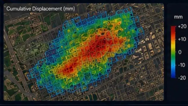
INTERFEROGRAM
Phase difference between images
UNWRAPPED PHASE
Corrected phase (unwrapped)
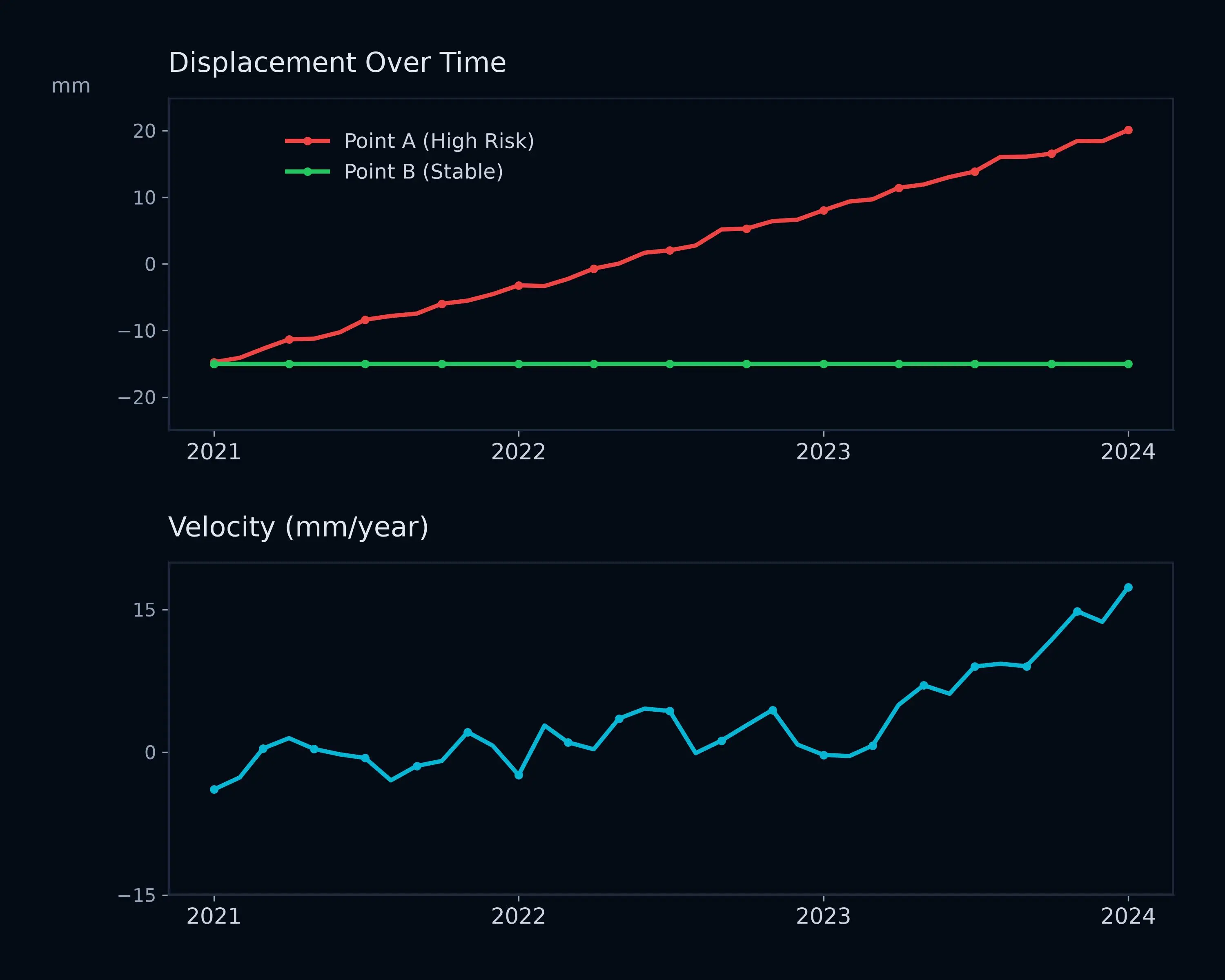
TIME-SERIES DEFORMATION
Millimeter-level deformation over time
RISK & INSIGHT
Identify unstable zones and enable action
What We Monitor
Our technology adapts to diverse environments, providing critical intelligence where it matters most.
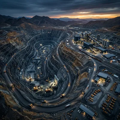
SLOPES & HIGHWALLS
Detect slope instability and potential failures.

TAILINGS STORAGE FACILITIES
Monitor tailings dam movement, seepage and structural integrity.
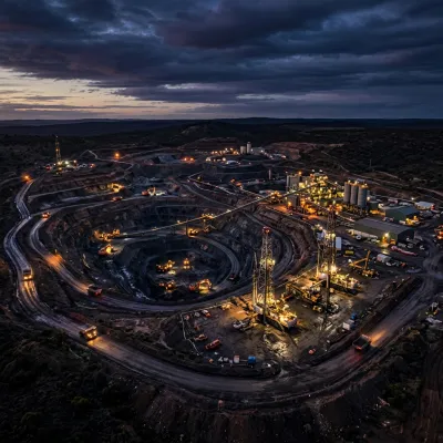
WASTE DUMPS & STOCKPILES
Track movement and settlement over time.
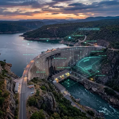
INFRASTRUCTURE & ASSETS
Monitor critical infrastructure and linear assets.
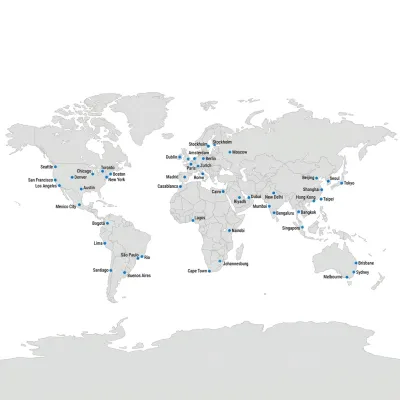
LARGE AREA SURVEILLANCE
Wide area monitoring for regional risk assessment.
Why It Matters
Millimeter Precision
Detect movement as small as 1–2 mm, identifying issues long before they become visible to the naked eye.
Wide Area Coverage
Monitor large and remote areas cost-effectively, providing a complete picture of regional stability.
Continuous & Consistent
Frequent revisits ensure no critical changes are missed, providing a reliable historical baseline.